Add your organization to OuterSpatial.
Get started now for free.
Communities
Welcome To
Massachusetts
17
Organizations
172
Areas
503
Points of Interest
315
Miles of Trail
Explore the Map
Bulletin Board
Experiences
Organizations
Challenges
Share
Share
Social
Social
Link
5 months ago
Introducing the Create a Report Tool
Written by
OuterSpatial
Link
5 months ago
Discover New Adventures with OuterSpatial and what3words
Written by
OuterSpatial
Link
2 years ago
Help improve OuterSpatial!
Written by
OuterSpatial
Link
3 years ago
OuterSpatial Mobile Just Got a New Look
Written by
OuterSpatial
outing
3 years ago
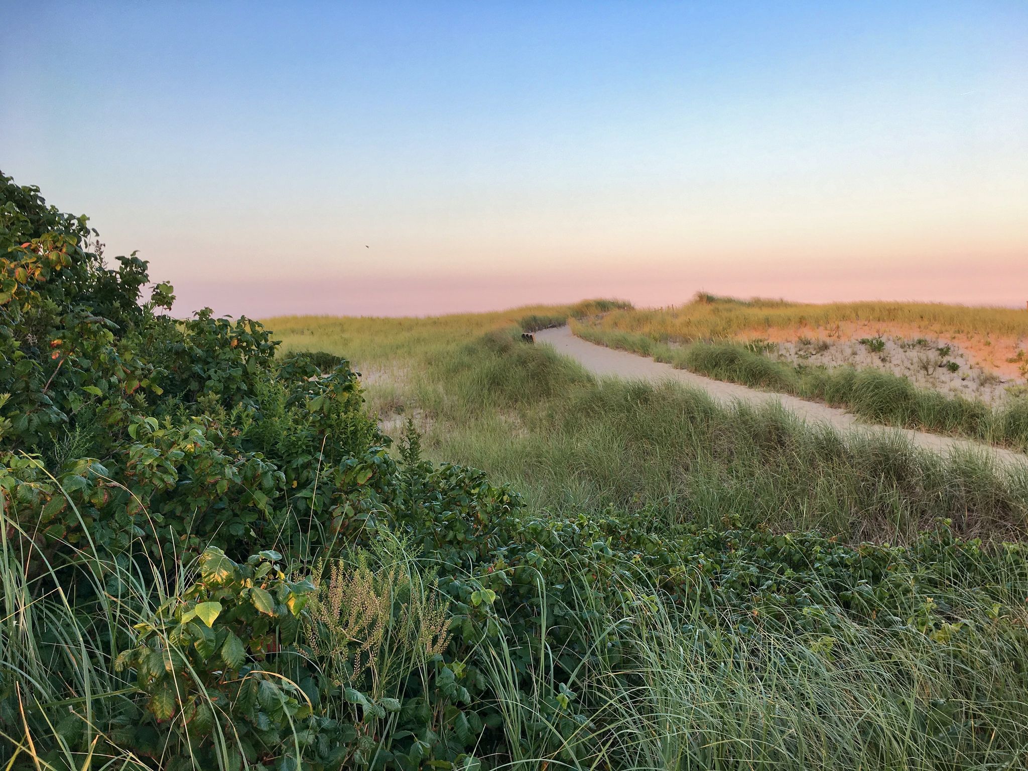
Explore Wheeler Farm and Flint Fields
Written by
Lincoln Land Conservation Trust
area
3 years ago
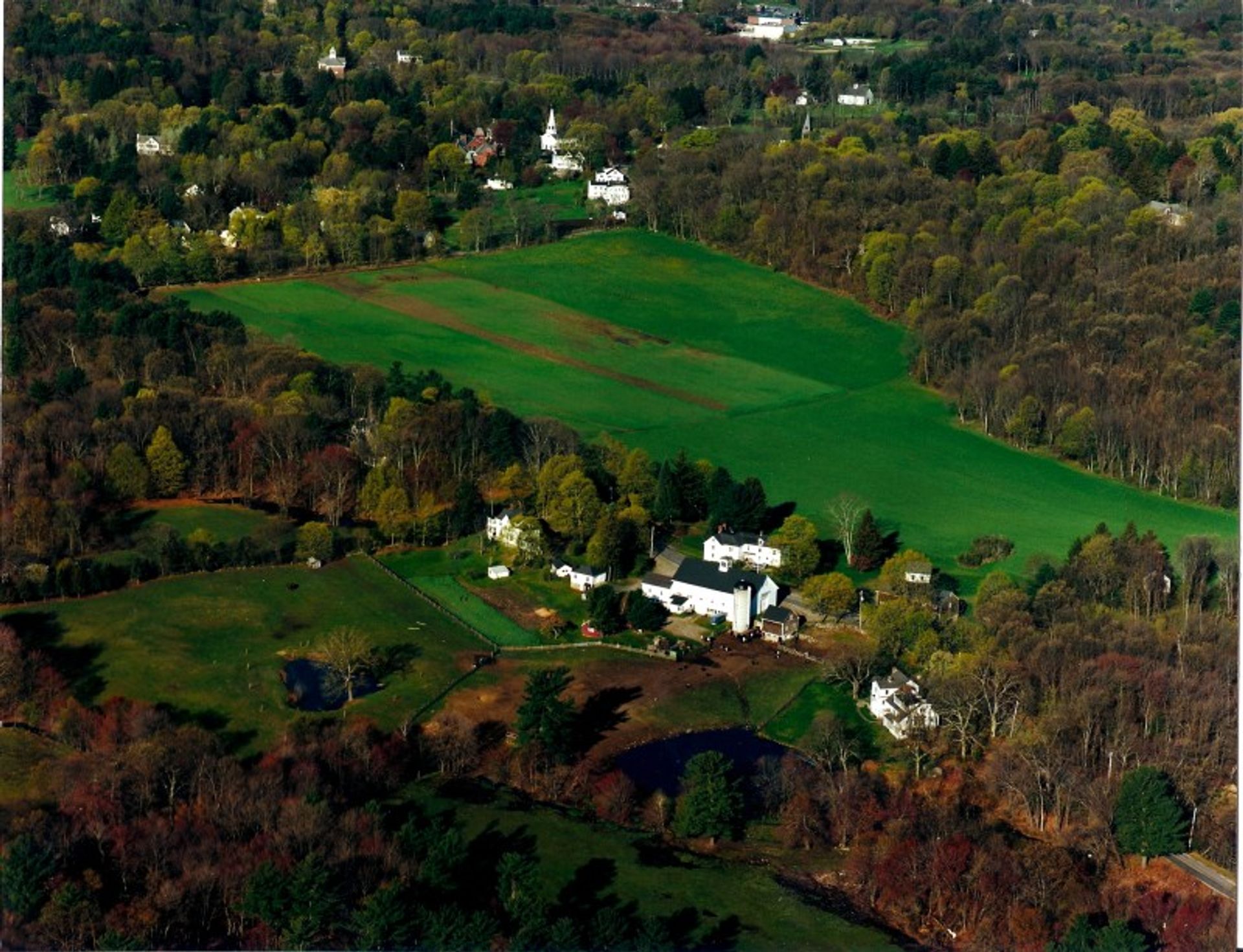
Adams Woods Adventures
Written by
Lincoln Land Conservation Trust