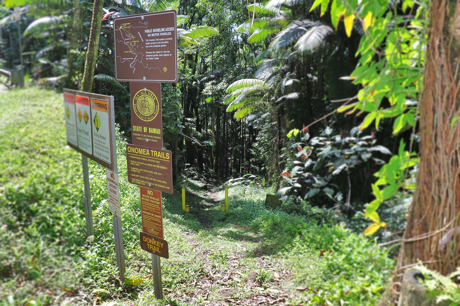
Onomea Trail follows the alignment of the old government road into Hawaiʻi Tropical Botanical garden and splits at Alakahi Stream; one branch turns right to Kukilu Bay and the other continues directly across the garden to the east side of Kahaliʻi Stream. The stream may be forded at this point to connect with the Donkey Trail. Donkey Trail goes directly to the point between Kenenue and Kahaliʻi Bays. It is steep, with the tread uneven and often slippery. Use caution. Donkey Trail is part of a Hawaiian Kingdom government cart road used for hauling goods from the landing at Onomea.
Difficulty: Easy
Highest Point: 160 ft.
Lowest Point: sea level
Mosquito repellent recommended.
Do not use any trail or access road that is not delineated by name and color and that may also be displayed on these maps. The marked features are managed for public recreational use. Other trails or roads that branch off from the public features may be on private property, and are not managed for any public recreational use. Access is subject to adjacent landowner approval, and if used without authorization, you will be trespassing and possibly putting yourself at risk.
Trail starts from the old Hawaiʻi Belt Road (4 mile scenic route between Pāpaʻikou and Pepeʻekeo off Highway 19) about 0.5 mile on the Hilo side of the Hawaiʻi Tropical Botanical Garden Office. Limited parking.