Details
Length (one way): 0.7 mi / 1.13 km - Elevation Change: 600 ft / 182.88 m
Kanealole Trail begins off the lower section of the Maunalaha trail and goes up Makiki Valley. This trail ascends gradually along a stream through dense forest and connects with Makiki Valley Trail after 0.7 miles. Continuing on: Once you intersect with Makiki Valley Trail, you may take the left route which takes you to Nahuina Trail and Tantalus Drive. Or you may take the right route and proceed east. Makiki Valley Trail will ascend gradually to a 4-way intersection. To return to the parking area from here, take Maunalaha Trail which will descend along a steep ridge back down to the Forestry and Wildlife Baseyard and the parking lot.
Descriptions for route, history, plants and birds were provided by Stuart Ball, author of The Hikers Guide to Oahu and other hiking books.
Forested, mixed forest, stream side, valley
Kanealole Trail begins off the lower section of the Maunalaha trail and goes up Makiki Valley. This trail ascends gradually along a stream through dense forest and connects with Makiki Valley Trail after 0.7 miles. Continuing on: Once you intersect with Makiki Valley Trail, you may take the left route which takes you to Nahuina Trail and Tantalus Drive. Or you may take the right route and proceed east. Makiki Valley Trail will ascend gradually to a 4-way intersection. To return to the parking area from here, take Maunalaha Trail which will descend along a steep ridge back down to the Forestry and Wildlife Baseyard and the parking lot.
Descriptions for route, history, plants and birds were provided by Stuart Ball, author of The Hikers Guide to Oahu and other hiking books.
Do not use any trail or access road that is not delineated by name and color and that may also be displayed on these maps. The marked features are managed for public recreational use. Other trails or roads that branch off from the public features may be on private property, and are not managed for any public recreational use. Access is subject to adjacent landowner approval, and if used without authorization, you will be trespassing and possibly putting yourself at risk. Downloadable resources are provided below
On the Kanealole Trail, look and listen for the white-rumped shama. It is black on top with a chestnut-colored breast and a long black-and-white tail. The shama has a variety of beautiful songs and often mimics other birds. A native of Malaysia, the shama has become widespread in introduced forests, such as this one. By the stream watch for tangled hau trees with large, heart-shaped leaves. Their flowers are bright yellow with a dark red center, and resemble those of a hibiscus. Early Hawaiians used the wood for kites and canoe outriggers, the bark for sandals, and the sap as a laxative. Also along the stream are kukui trees. Their large, pale green leaves resemble those of the maple, with several distinct lobes. Early Polynesian voyagers introduced kukui into Hawai`i. They used the wood to make gunwales and seats for their outrigger canoes. The flowers and sap became medicines to treat a variety of ailments. Early Hawaiians strung the nuts together to make lei hua (seed or nut garlands). The oily kernels became house candles and torches for night spear fishing.
The Kānealole Trail was originally a dirt road laid out in 1906 to facilitate construction of a water main from springs along Kanealole Stream to a reservoir in Makiki. Territorial Forestry constructed the Makiki Valley Trail and improved the Maunalaha Trail in 1915 to provide easier access for reforestation crews.
Always yield to hikers. Do not slide around corners or slide down the trail. Careless mountain biking damages the trail and causes erosion. If accidents are reported or damage to the trail is extreme, the trail may be closed to mountain bikers. This trail is not an easy mountain bike trail.
Hunting may be in progress on or near this hiking trail. Hunting dogs may be off-leash while engaged in the hunt. Hikers must keep their dogs leashed at all times and remove dog waste while on this trail.
If driving from Punahou, heading towards the mountains, turn left on Nehoa St. At the first traffic light, turn right on Makiki Street. When you reach the Board of Water supply park, follow the left fork, which is Makiki Heights Road. Continue for approximately 0.5 miles until the road makes a sharp hairpin turn to the left (look for a row of mailboxes on the right side of the road). At the hairpin turn, continue straight ahead through a green iron gate (there is a sign that says Makiki Forest Recreation Area). Continue shortly up the road till you see a gravel parking lot on your left. Parking for the trail is available in this lot. Proceed up the road on foot till you reach a stone building (public restroom) on your right. Turn right just before the building and the trail head begins right after the bridge.
Please note that the Kanealole Trail (in yellow) is part of the Honolulu-Mauka Trail Network, comprising of 18 interconnected trails (in turquoise). The system may be accessed via the Makiki Arboretum Trail (dark blue) as part of an extended hike. The shortest route from the Makiki Arboretum Trail to the Kanealole trailhead is 0.25 miles.
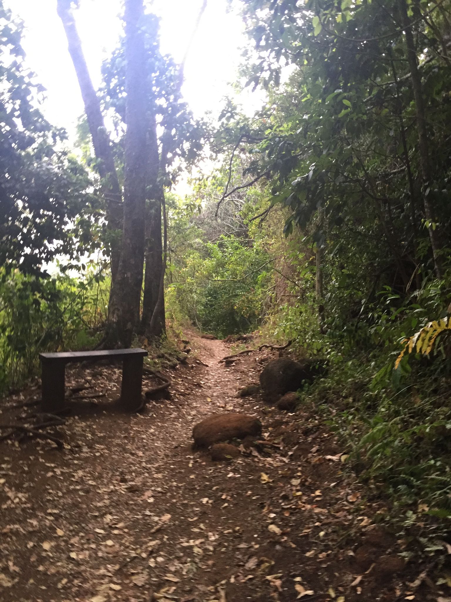
From the gravel parking lot continue along the paved road on foot. After passing Hawai`i Nature Center on the right, reach a signed junction. Turn right on a driveway leading to the Kanealole and Maunalaha Trails. Pass restrooms, a boot cleaning station, and a drinking fountain. Cross Kanealole Stream on a bridge and turn left upstream on a gravel path. Nearby is a bulletin board with trail information. Pass several lo`i (kalo or taro terraces) on the left. Reach another signed junction by a bench and several Cook pine. Keep left on the Kanealole Trail. (To the right is the Maunalaha Trail.) After crossing a small bridge, pass native and Polynesian introduced plants identified with labels. The trail is graveled and lined with plastic rails. Cross Kanealole Stream on a second bridge and turn right upstream. Ascend gradually next to Kanealole Stream following a partially buried water pipe. Pass a stand of bamboo and then tangled hau groves on the right. The Kanealole Trail ends at a signed junction with the Makiki Valley Trail. For a short loop hike, turn right on the valley trail. At the next junction turn right again on the Maunalaha Trail to return to your starting point.