Outing in Hellyer County Park
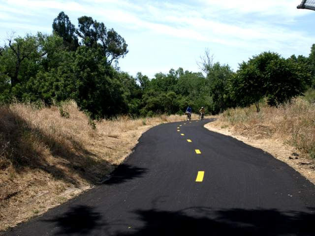
Coyote Creek travels 31 miles from the Diablo Range to San Francisco Bay. On this trail segment, follow the creek bed through shady riparian cover, parks, developed areas, and open fields to Metcalf Park’s freshwater lagoons, the habitat for many year-round and migratory bird species. The wide paved trail travels a nearly level course and is an excellent bike ride, popular with families on bicycles, especially on weekends. This trail is wheelchair accessible on most of the trail.
(This trail description is excerpted from the 2019 Guidebook. For details on all trails, trailheads, and more, buy the book from Wilderness Press. For more resources to plan your trip, visit our Trail Tools page.)