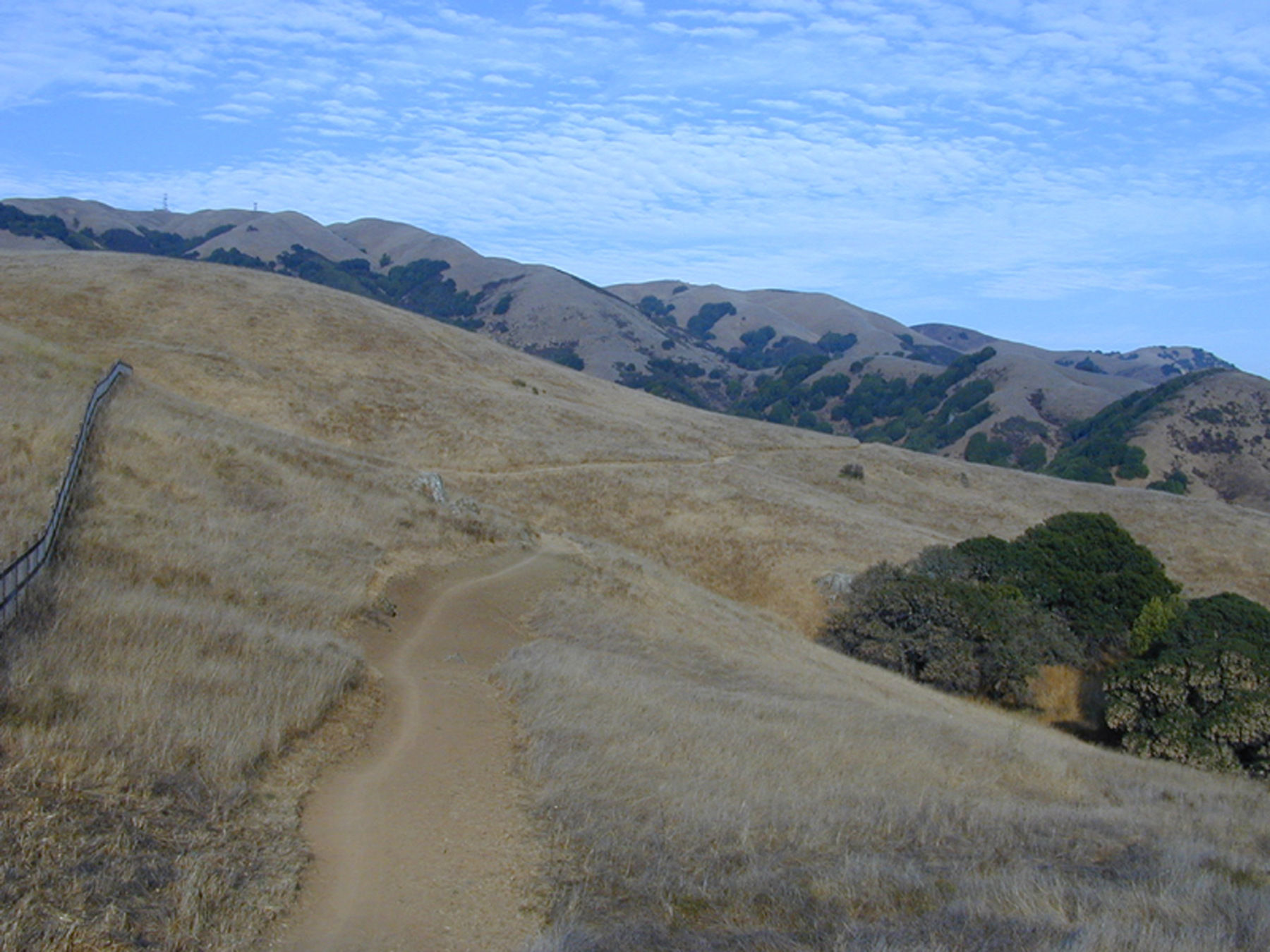
Climb through grassland and some woodland to 1,800-foot Big Rock Ridge, the second-highest peak in Marin County. From here you can take in stellar views of Marin’s mountains and valleys. The route is situated mostly on a well-graded single track trail, except for the fire road at the top, which has some steep sections. This is an exposed south-facing slope and all uphill, best traveled on cool mornings in summer or bright sunny days in winter.
(This trail description is excerpted from the 2019 Guidebook. For details on all trails, trailheads, and more, buy the book from Wilderness Press. For more resources to plan your trip, visit our Trail Tools page.)