Area
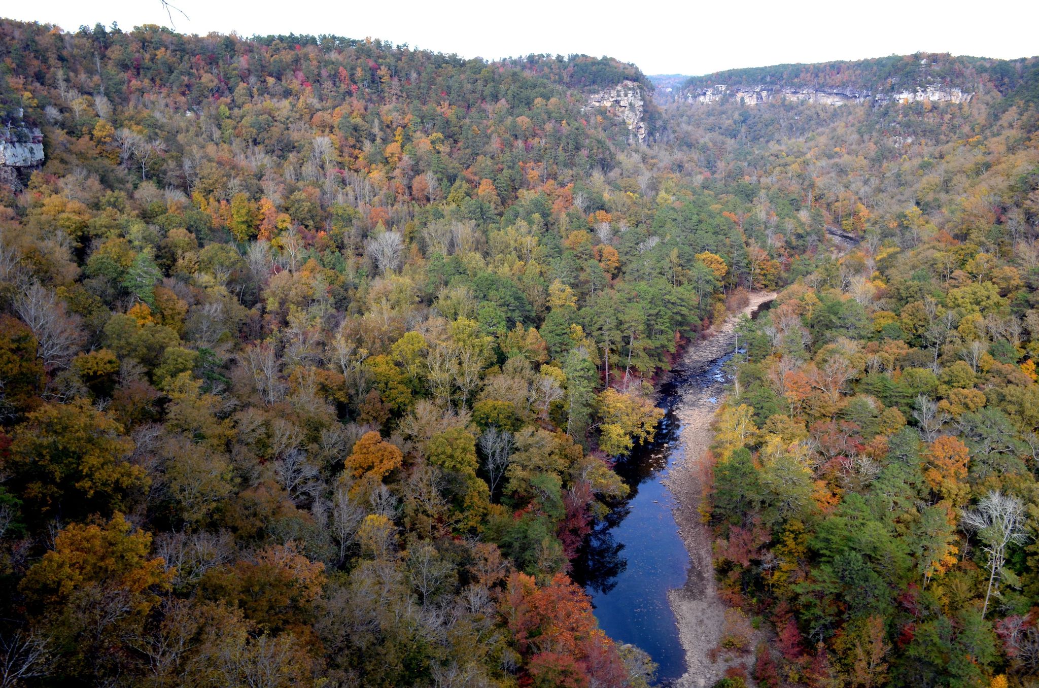
Little River is unique because it flows for most of its length atop Lookout Mountain in northeast Alabama. Forested uplands, waterfalls, canyon rims and bluffs, pools, boulders, and sandstone cliffs offer settings for a variety of recreational activities. Natural resources and cultural heritage come together to tell the story of the Preserve, a special place in the Southern Appalachians.
Little River Canyon National Preserve follows along the Little River and covers approximately 40 miles from the northeast corner to the southwest corner. The easiest way to access the park is by Alabama Highway 35 about 10 miles east out of Fort Payne, Alabama. Interstate 59 is the closest interstate. GPS Address: 432 Little River Trail, Fort Payne, AL 35967. Our address was updated by 911 and some GPS units will send you to an incorrect address. Please use this address for GPS units.
Entrance fee is $15.00.
Located near Cedar Bluff, Alabama, the Canyon Mouth Park area features amenities including a paved parking lot, restrooms with sinks and flush toilets, picnic tables, grills, lots of shade, close to the water, and a brand new playground. A seven-day pass costs $15 and an annual pass costs and is good for one vehicle. A machine is available at the entrance to Canyon Mouth Park should no park personnel be present in the booth. The machine takes cash only (no bills larger than a $20).
The weather in Fort Payne, Alabama is mild. The average temperature in the winter is in the 50's. The average summer temperature is in the high 80's with high humidity. We receive about 55 inches of rain each year. Snowfall varies, but only lasts a few days per event.