Area
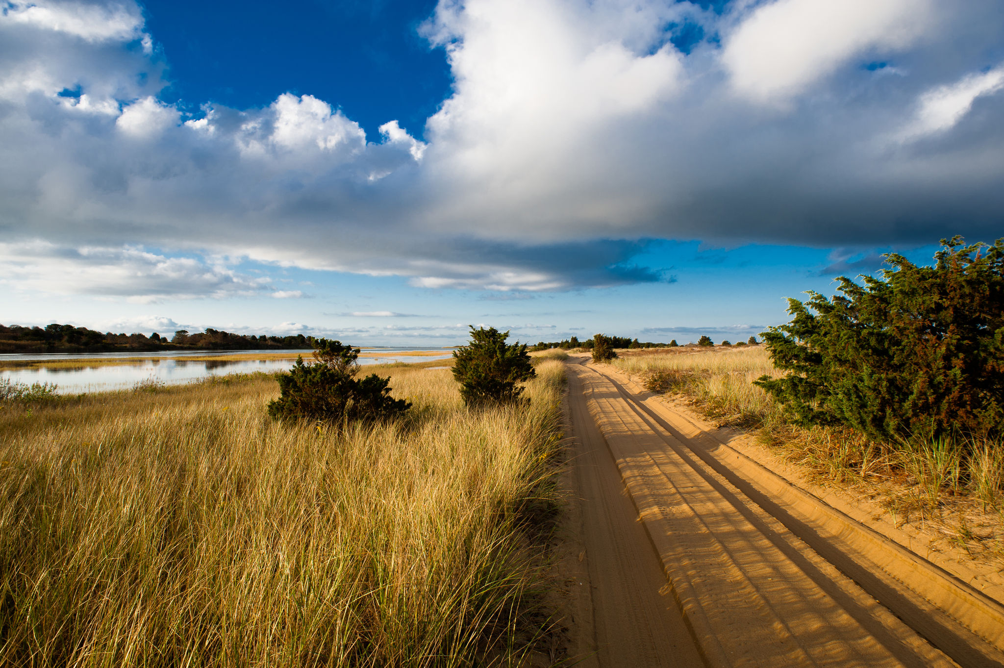
A barrier beach formed thousands of years ago by offshore currents, extending for seven miles from Wasque Point to Cape Poge Lighthouse and Gut. Moderate hiking is available along 14 miles of oversand vehicle and walking trails, plus beach front. At the northern edge, Cape Poge Elbow sustains a gull rookery and nests of endangered piping plovers, least terns, and oyster catchers. Cape Poge Bay serves as a nursery for finfish and shellfish. The Gut attracts bluefish and striped bass. At the northernmost tip stands the beautiful Cape Poge Lighthouse, first erected in 1801.
From ferry, take Chappaquiddick Road 2.5 mi. At sharp right curve, continue straight on Dike Road (dirt road) and follow 0.5 mi. to entrance and gatehouse over Dike Bridge. Town parking by bridge. Additional parking at Mytoi.
Oversand vehicle trails that can be walked in. Soft sand, moderate to difficult walking.
Contact TTOR for use of beach dune wheelchairs and oversand ATV service.
on leash at all times except where prohibited
Open 24 hours. (10 p.m. - 5 a.m. open to fishermen only)
This property is open to archery, shotgun and muzzleloader seasons with permission (the Cedars only). It is also open to waterfowl hunting, with permission.