Area
The first written descriptions of the land and people of the Kenai Peninsula are found in the 1778 journals from the British sponsored expedition of Captain James Cook.
According to legend, Anchor Point got its name when Captain Cook lost an anchor near the mouth of the river. Homesteaders began to settle in the Anchor River area in the early 1900's. They came from Homer, to the South, and Kenai and Ninilchik, to the North, and survived by hunting, fishing, and farming.
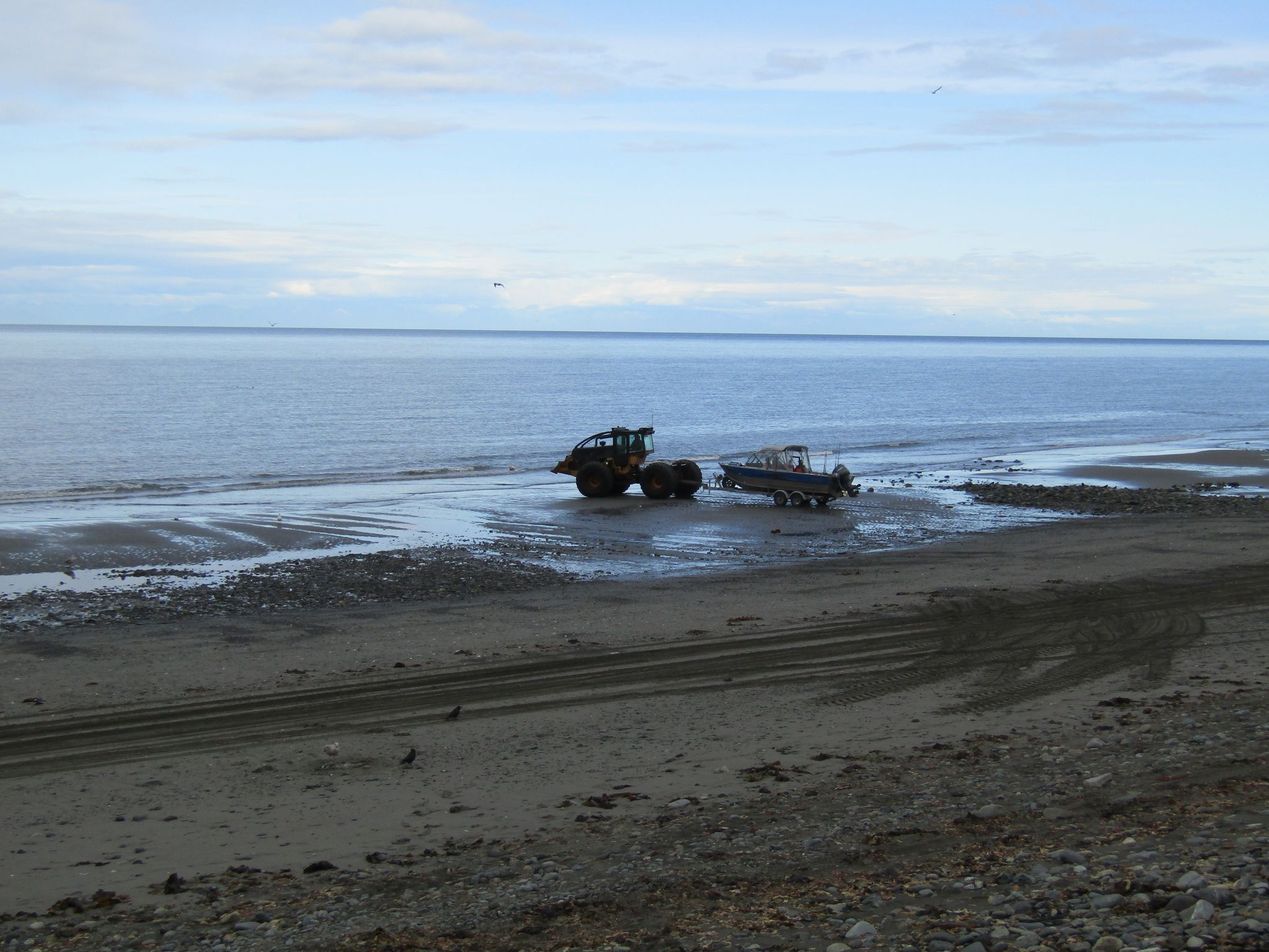
Wildlife abounds around the Anchor River, with moose, beaver, mink, bald eagles, a variety of ducks along the river, harbor seals, sea otters, and beluga whales near shore in the Cook Inlet.
Across the Cook Inlet from Anchor Point, three of seven volcanoes bordering the inlet can be seen: Mount Augustine to the South, then Mount Iliamna, and Mount Redoubt to the North. Mount Augustine's last eruption ended in March 2006; Mount Redoubt's latest eruption ended around July 2009. No eruption of Mount Iliamna has ever been recorded. Anchor Point, where Anchor River State Recreation Area is located, is the most westerly point on the U.S. Highway System.
Take the Seward Hwy South, bear right at the Seward Cut-off onto the Sterling Hwy. Located at milepost 157 of the Sterling Hwy.
