Area
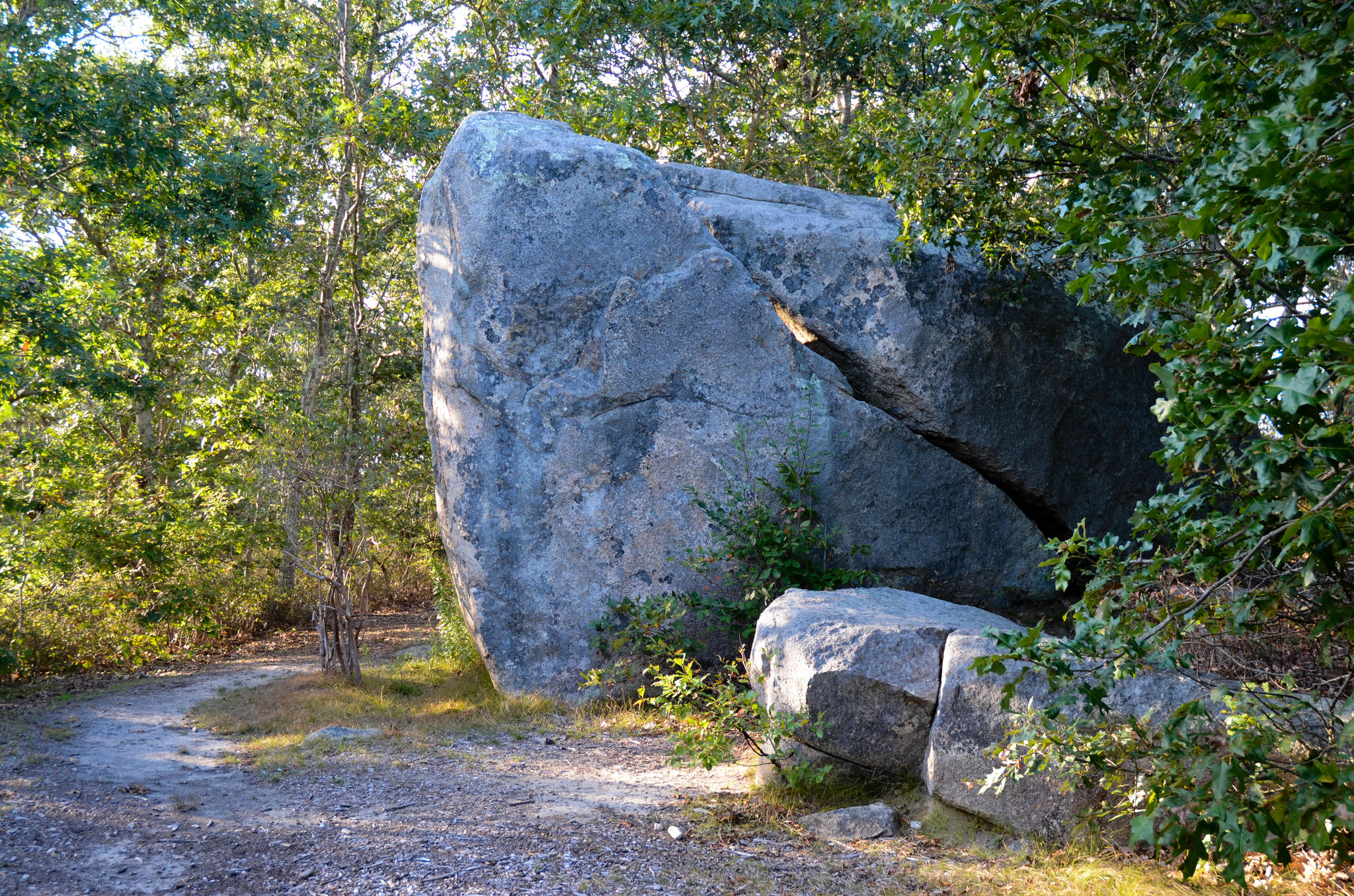
A variety of experiences: Woodlands to south segue into open fields, leading to deeply shaded wetlands along the Mill Brook to the north. Remnants of a 17th century homestead are found in the fields. Atop one of the ridges is the Waskosim’s Rock, a boulder whose shape and location have long figured in Wampanoag and island history. The rock marked the beginning of the “Middle Line,” a stone wall boundary running to the Menemsha Pond in order to separate English and Wampanoag lands in the mid-1600s.
From North Road intersection with State Road in West Tisbury, drive up-island. Cross the Chilmark town line; trailhead is just past it on the left.
leashing required at all times within half-mile of trailhead and elsewhere from April 1 - September 30
sunrise to sunset
This property is open to archery, shotgun and muzzleloader seasons with permission.
During shotgun season, the property is closed to the public. See Land Bank website for more specific information.